Monthly Archives: October 2022

The Moray Way; Day 2, Fri 28th Oct; Findhorn to Dufftown.

A hard day’s ride with lots of variety in the weather, scenery and tracks.

And the stats; 52 miles at 8mph. Slow due to the ground – sand, shingle and then mud.

Ascent: 4,026ft, almost all at the end. Max only about 20mph.

But first breakfast:

Tea and yesterday’s cheese roll. But miserable, like the weather.

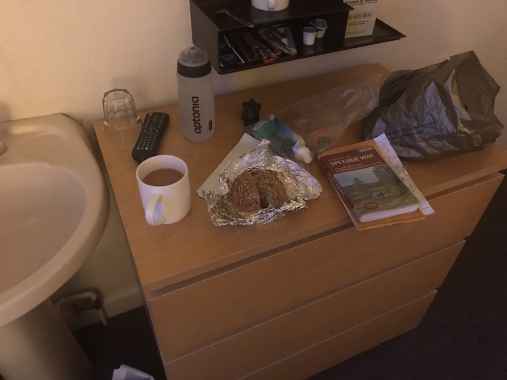
This pub does not do breakfast. Nor does anyone appear when you leave which was a bit odd. Off to the village shop for food and then the start of the trail.

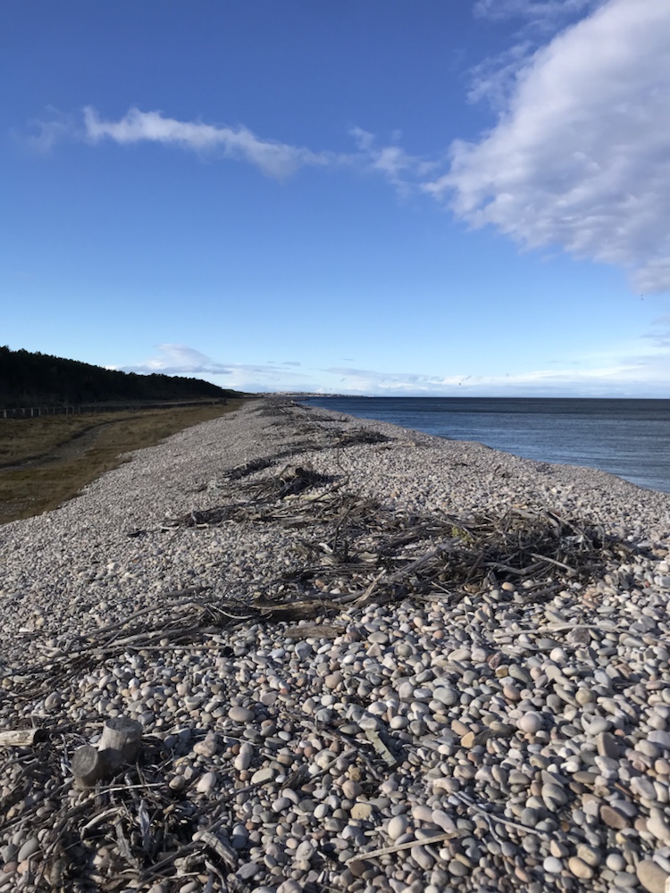
Fortunately it is well way marked as it is hard to discern the route through the sand dunes and shingle.

Gloomy morning.

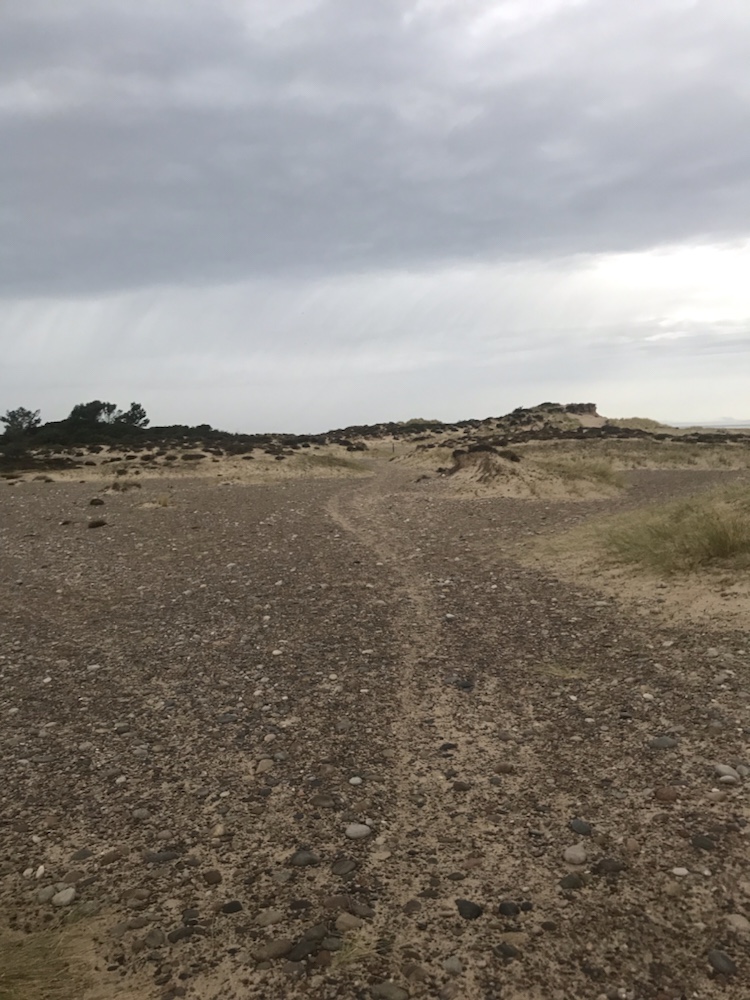
The light gradually improved and the shingle turned to sand which was not an improvement.

Miles of beaches and as ever almost deserted.

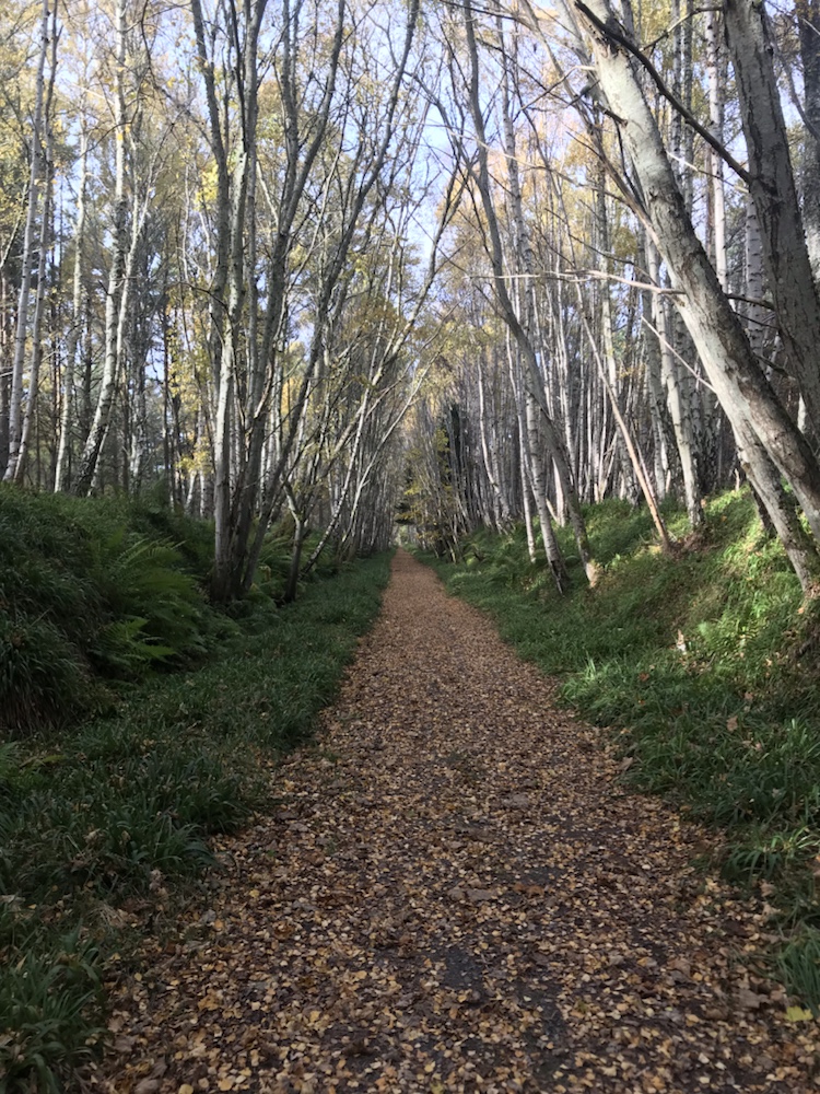
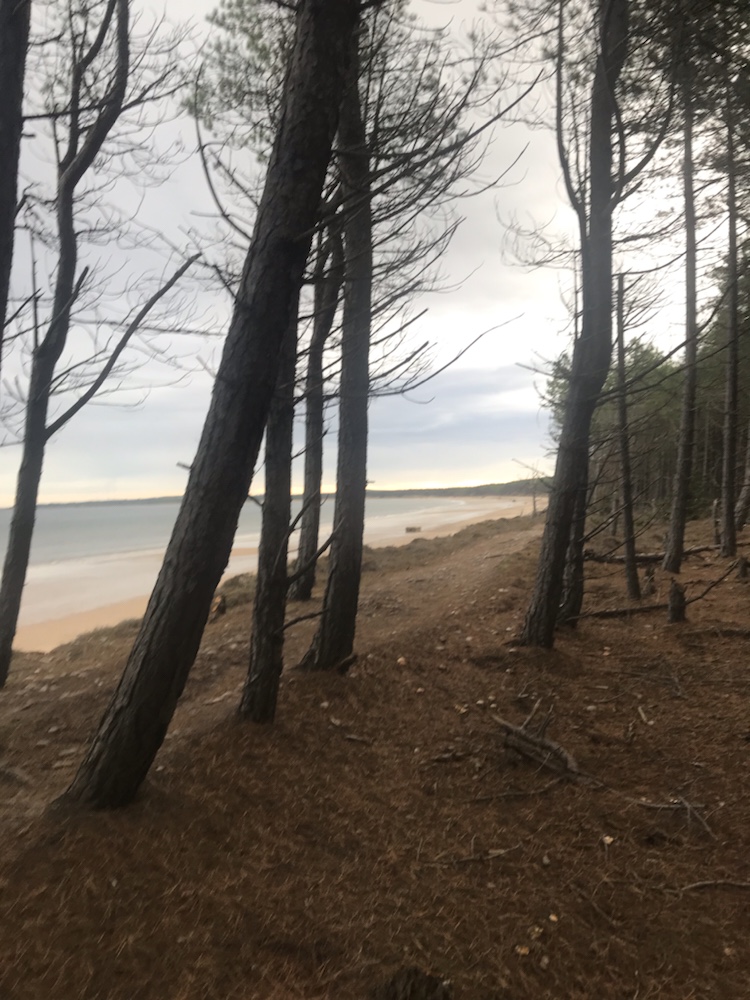
Most of these beaches are fringed by pine forest:

Looking east towards Burghead.

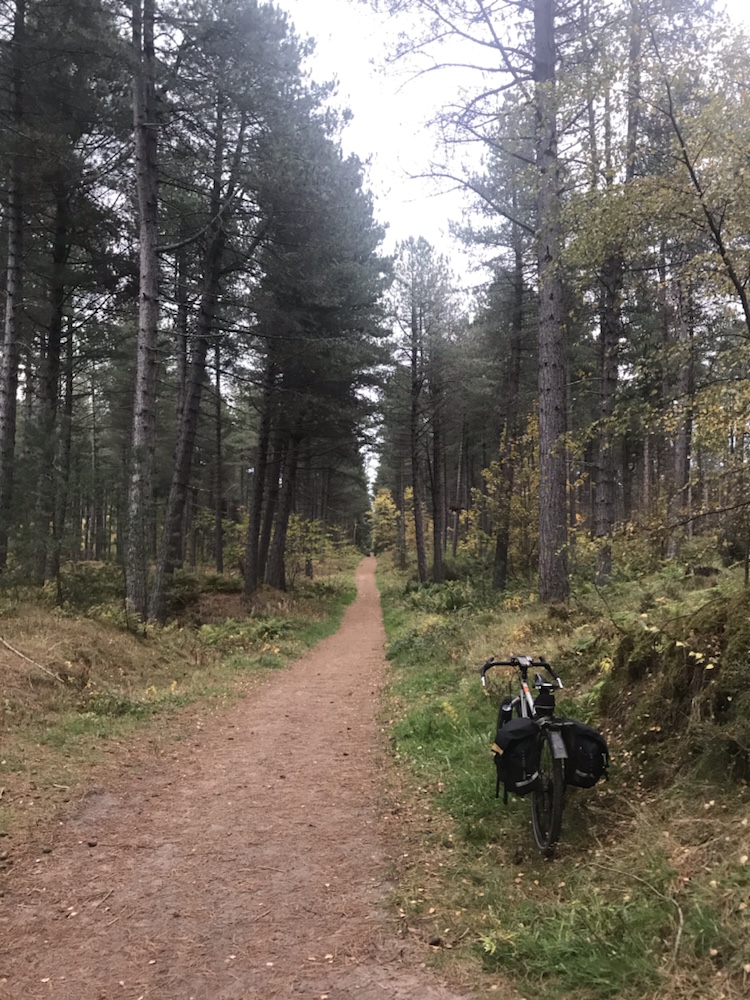
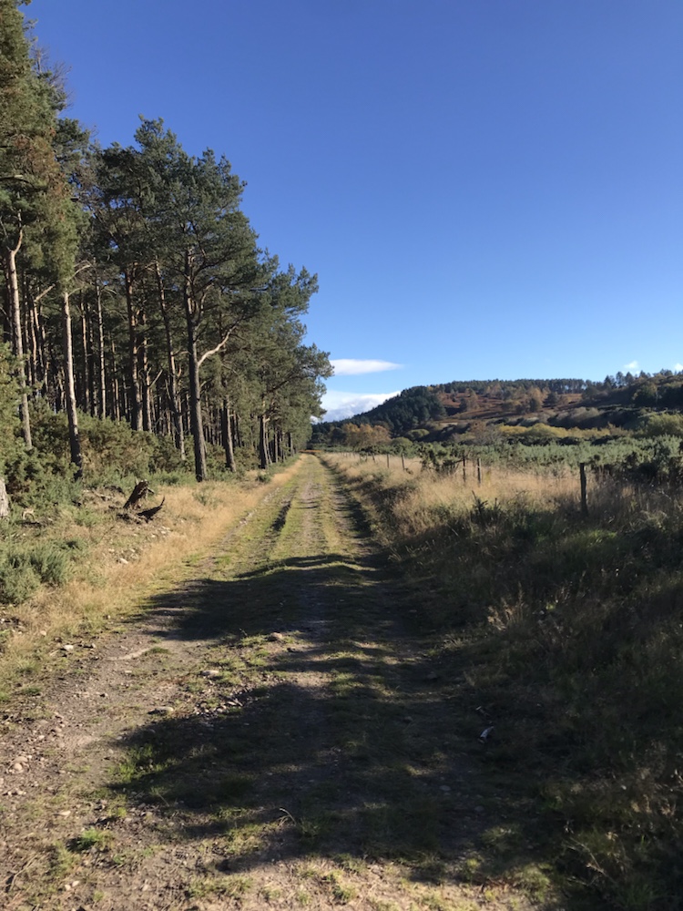
Then into the forecast for easy cycling on good tracks:

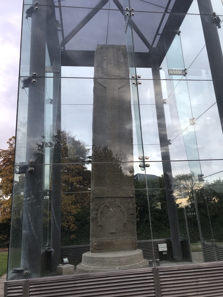
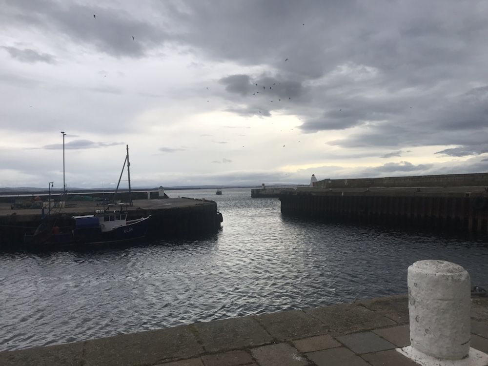
And after 6 or so miles into Burghead and it’s harbour :

Trawler about to enter.

This was the largest Pictish site in Britain by 900 AD. Their harbour was dismantled when the current harbour was built – designed by Thomas Telford in 1805. Was there any civil engineering project he was not involved in? He must have been the most prolific engineer in the UK.

The harbour has a memorial to the Shetland Bus; a group of very brave Norwegian sailors who via 2 fishing boats secretly ran men, ammunition and other supplies to the resistance in German occupied Norway in the early 1940s.

The wind started at Burghead and it was strong. Fortunately the trail to Hopeman was mainly in a cutting – another old railway track – and so not too bad.

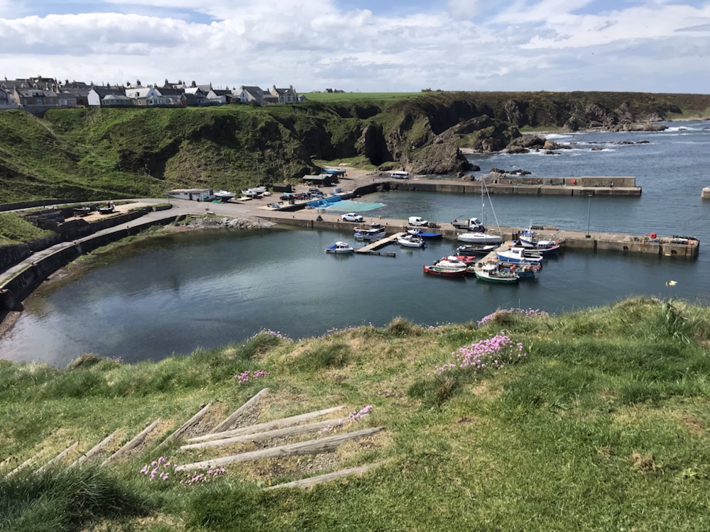
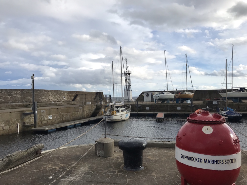
Hopeman has a lovely little harbour:

This was last summer as it doesn’t look so good in the grey gloom!

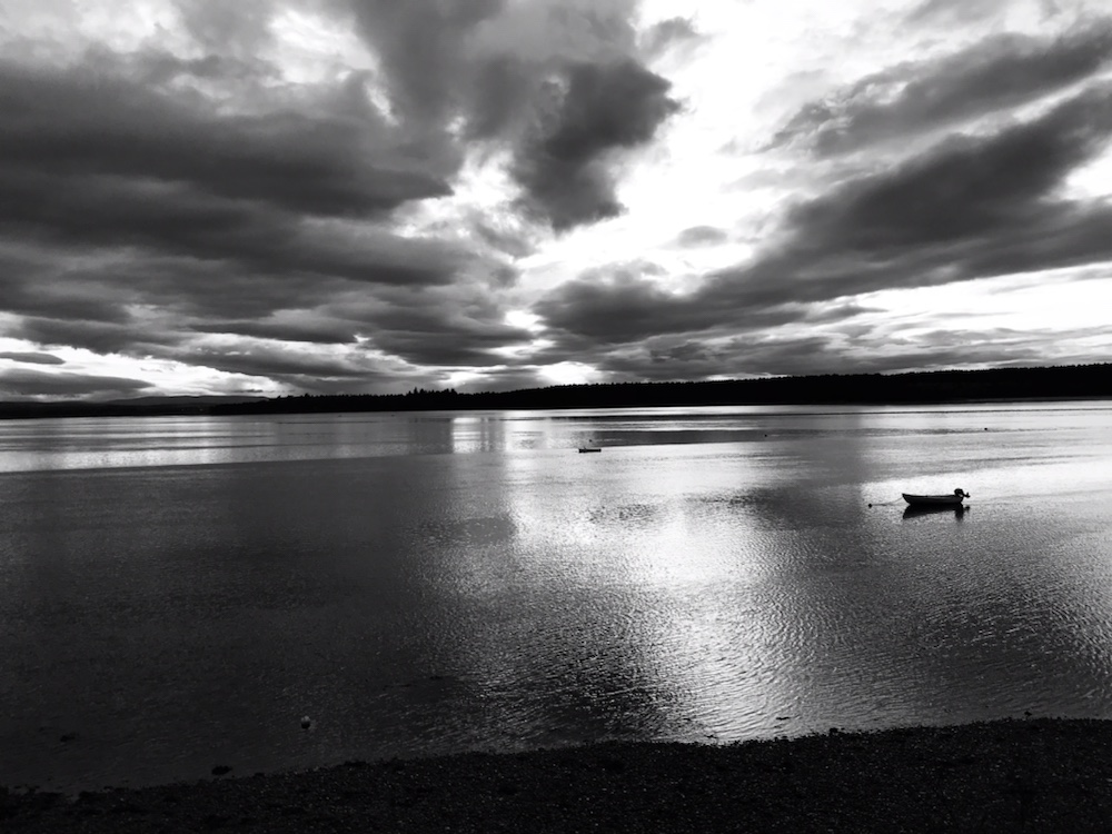
Lots of lovely bays albeit in the subdued slow dawn they didn’t look quite as scenic:

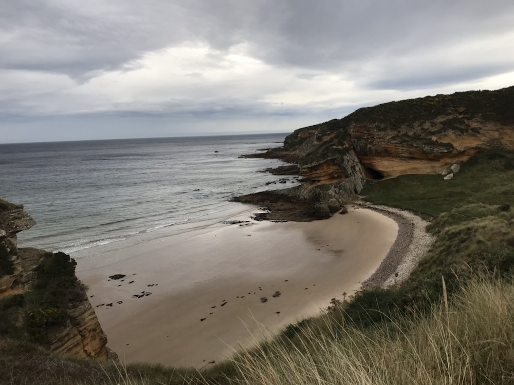
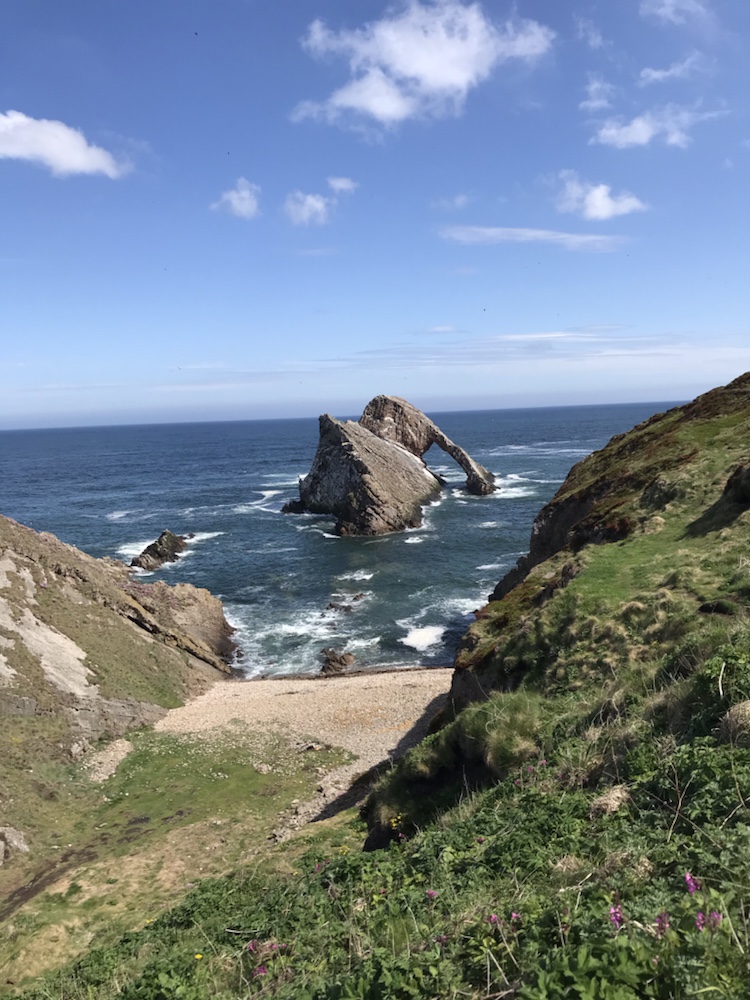
But this coastline is, especially when sunny, stunning:

Bow Fiddle rock. Last summer.

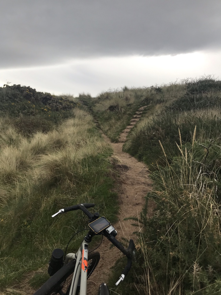
The track got harder with lots of pushing:

Slow. V slow .

It was taking me ages to get to Lossiemouth so I veered inland onto tarmac and a difficult headwind. That meant I missed seeing Covesea lighthouse from the beach but I also needed food.

So to a café we often visit; the Harbour Lights in Lossie harbour. After excellent coffee and eggs Benedict back into the headwind – gusting up to 40mph so progress was frustratingly slow.

The harbour entrance in the distance where Ella and I caught fish.

Back on to the coastal trail. There’s a new footbridge to the brilliant Lossie sand dunes but in that wind I thought best to aim for the tracks through the forest behind the beach.

The heavens opened and I must admit being tired, with that viscous headwind and the prospect of getting soaked and to top it all 30 plus miles still to cycle I was not happy. In fact I was very pissed off.

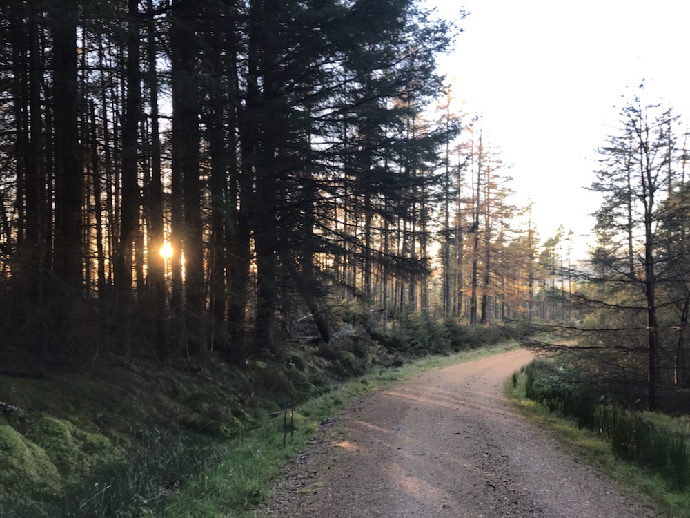
However it was a sharp shower and the sun came out. I wizzed along some great forest tracks shielded from that wind. But I felt I was a bit of a fraud away from the beach so back to it…

Miles of this.

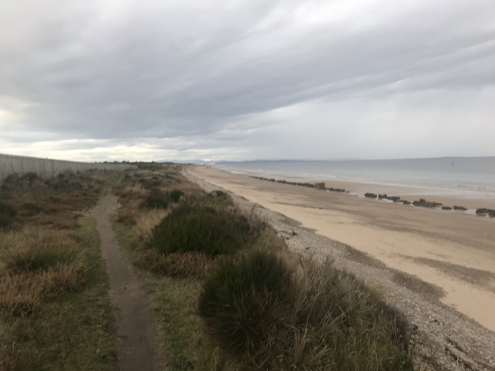
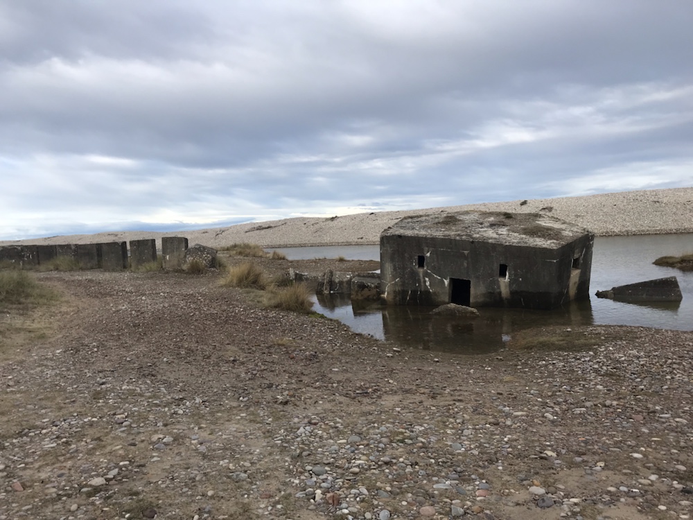
This was also where a German invasion from Norway was expected. Hence many pill boxes :

Just one of the 19,000 built in WW2.

And tank traps which line the beach for mile after mile:

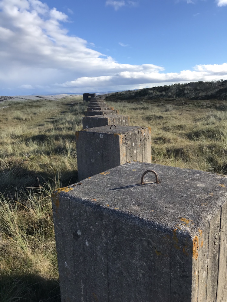
Not 19,000 like the pillboxes more like 19 million…

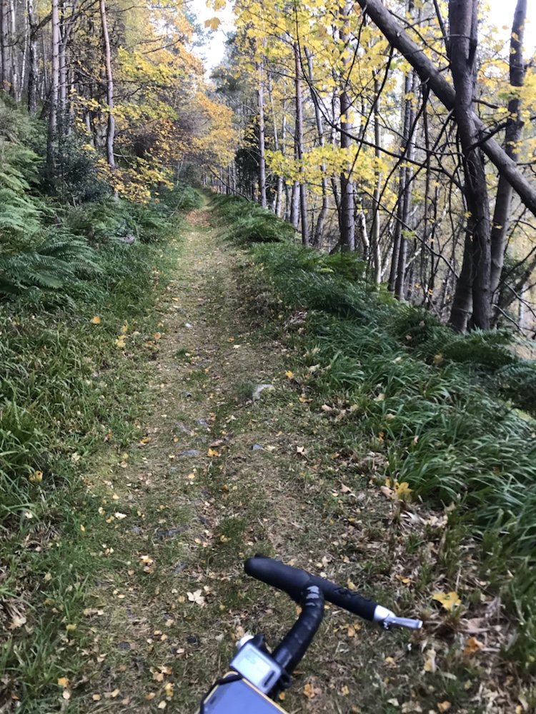
But the shingle and sand took its toll so back on the forest tracks:

Easy cycling in the sun. Just a few gusts. Like every 5 mins.

Eventually I got to Garmouth, a village by Spey Bay where the Spey runs into the Moray Firth. It was eerily quiet and quite twee in a well off way with Farrow & Ball everywhere.

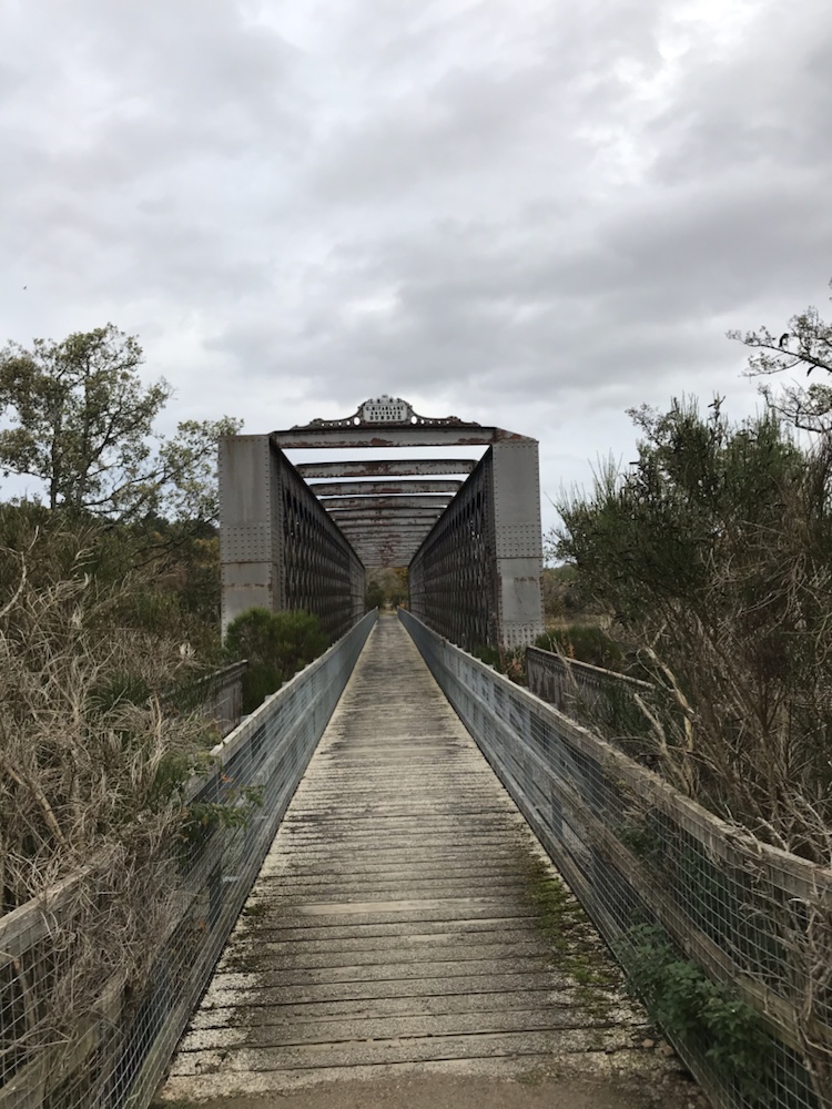
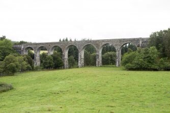
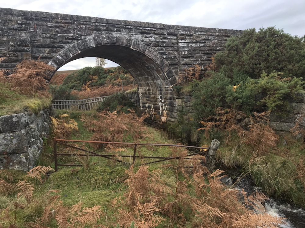
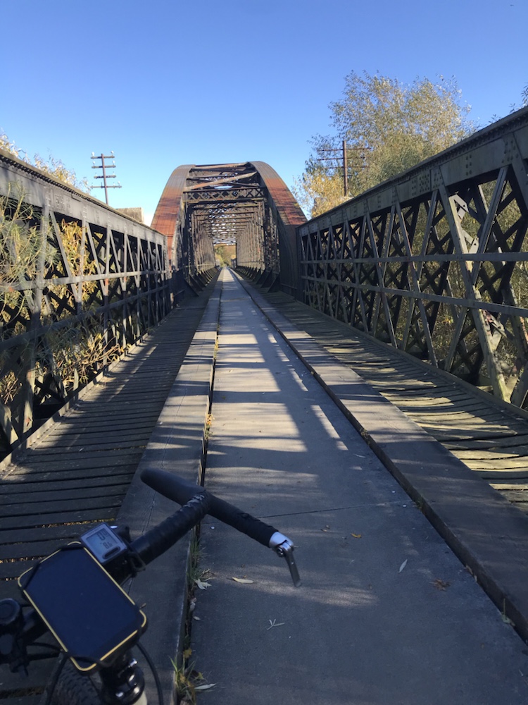
Then I knew I was easily half way. Across an old railway bridge:

And on to the Speyside Way. Well signposted but frankly a bit boring. Glad I wasn’t walking it. Through Fochabers and along a quiet lane with a viscous descent and ascent at Aultderg.

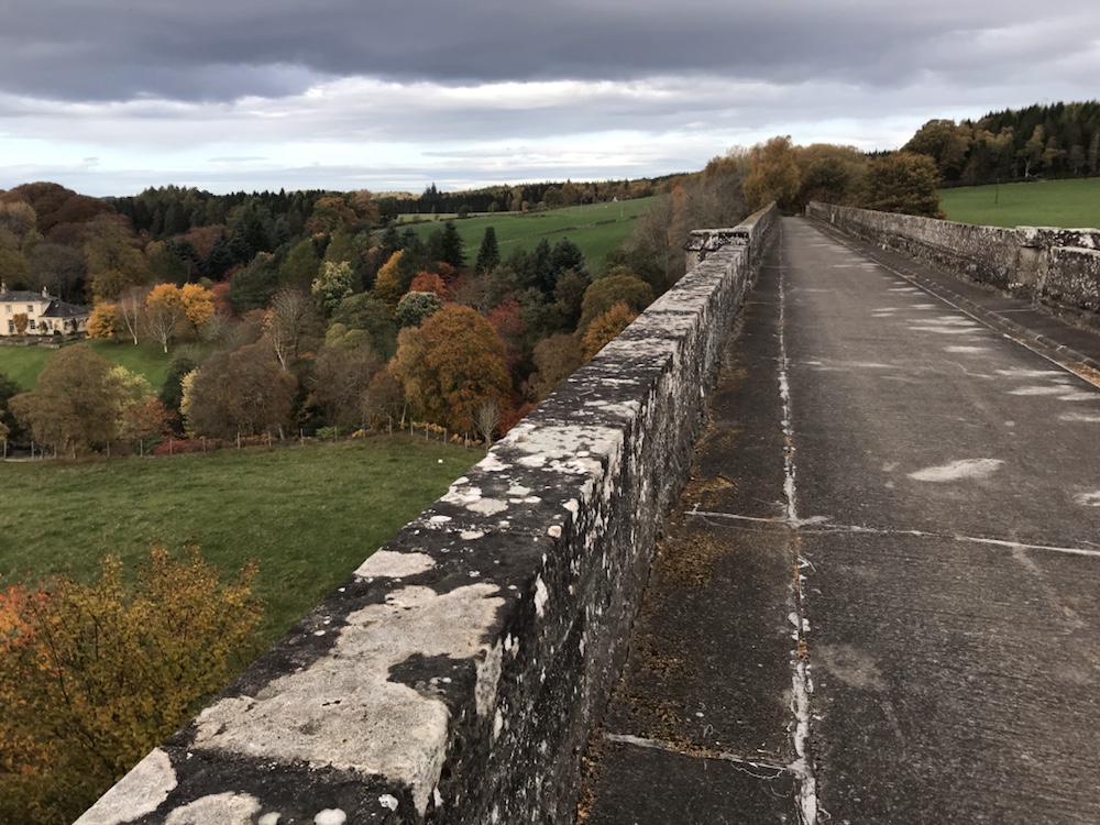
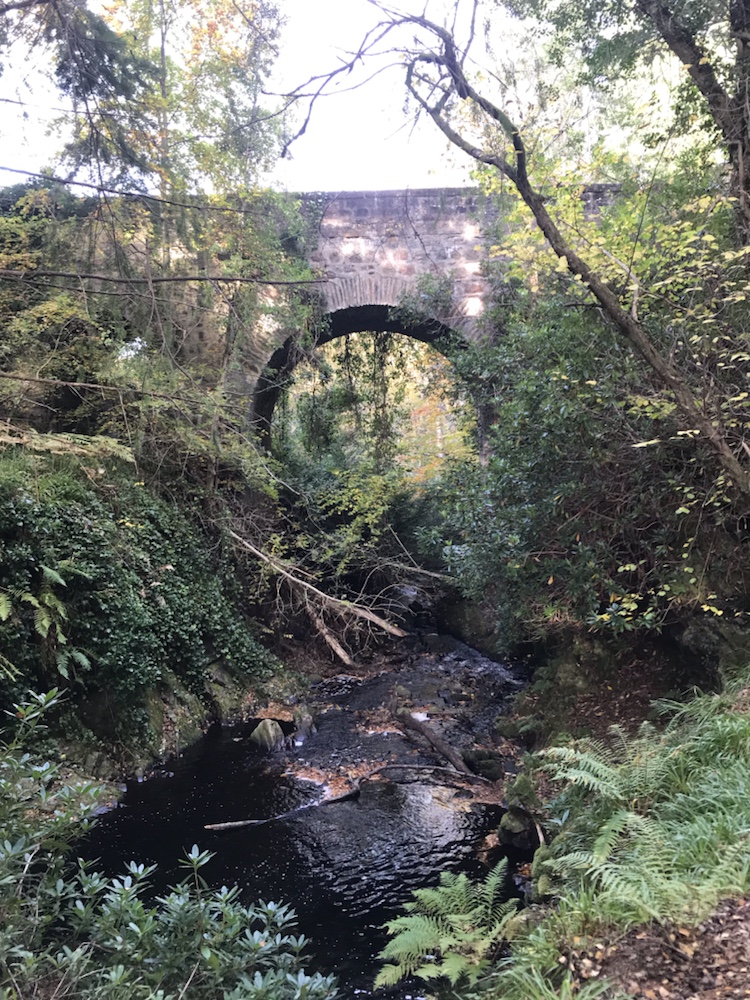
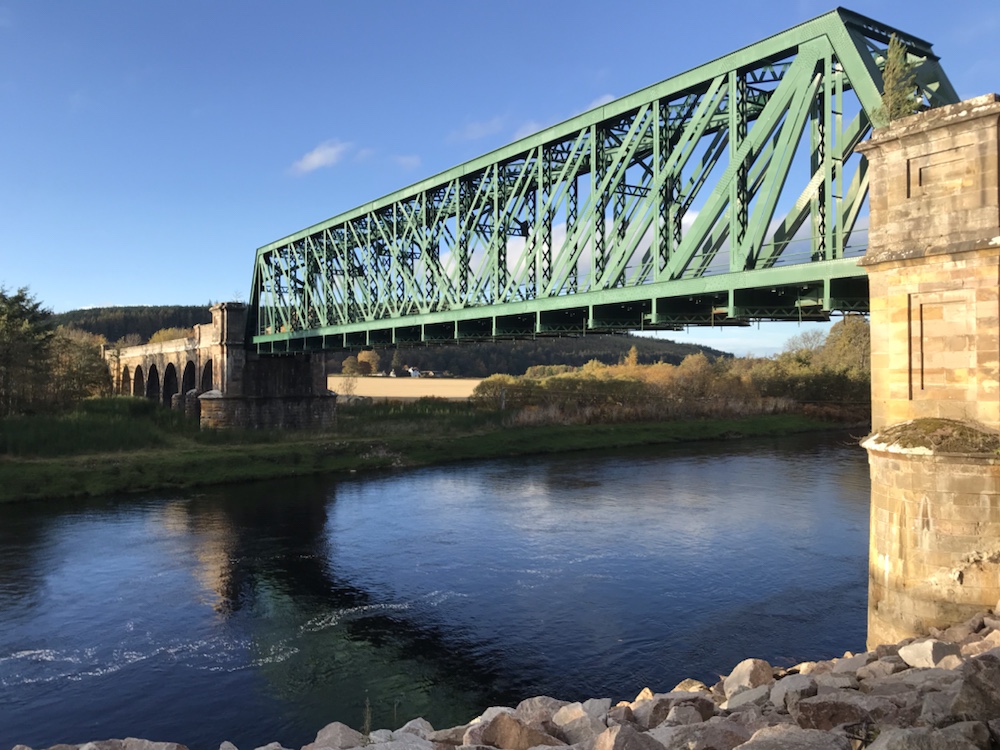
Then to Boat o’Brig and a railway bridge still in use for trains !

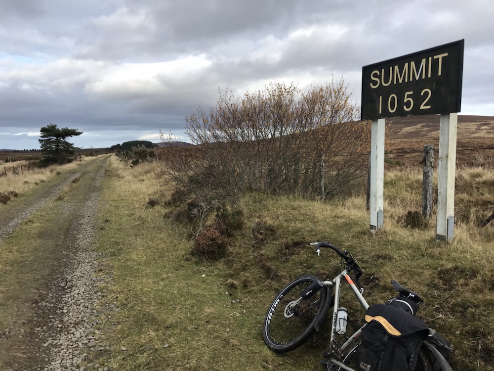
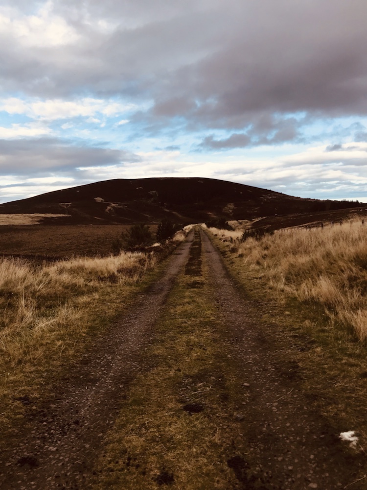
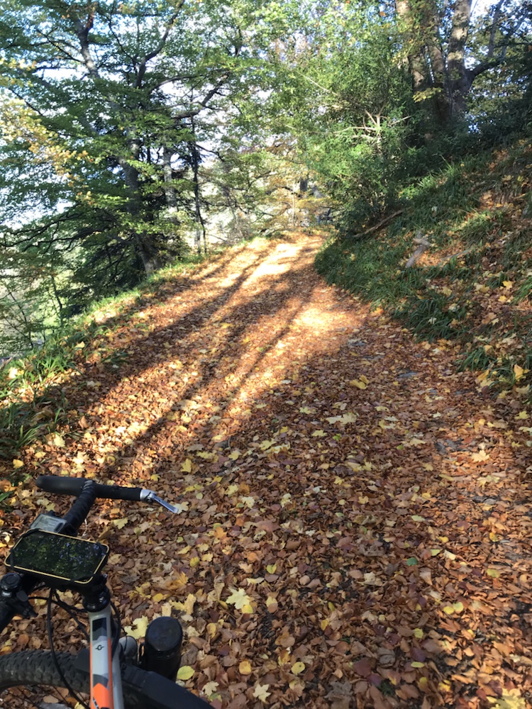
I knew I had some climbing still to do but it was far harder than I anticipated. Up a rough track:

Brilliant autumn foliage

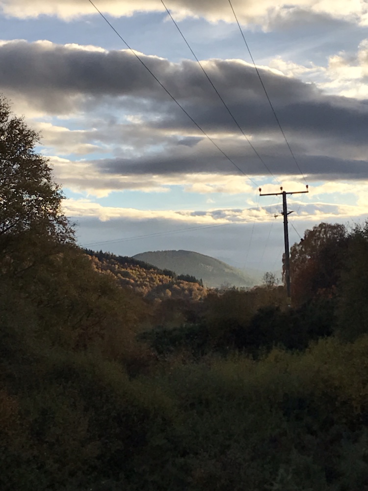
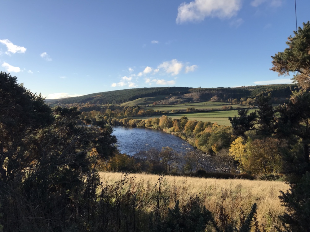
Great views in the late afternoon sun:

The Spey. What else ?

But the track was not the usual wide good surface forestry track for log hailing lorries. It was steep, mainly muddy and the setting sun in my eyes did not help.

I saw no one for mile after mile.

Eventually I contoured along the side of Ben Aigen until the descent started – which was now on good forestry roads and then a lane which over the course of several miles took me down to Craigellachie.

Setting sun on the way down.

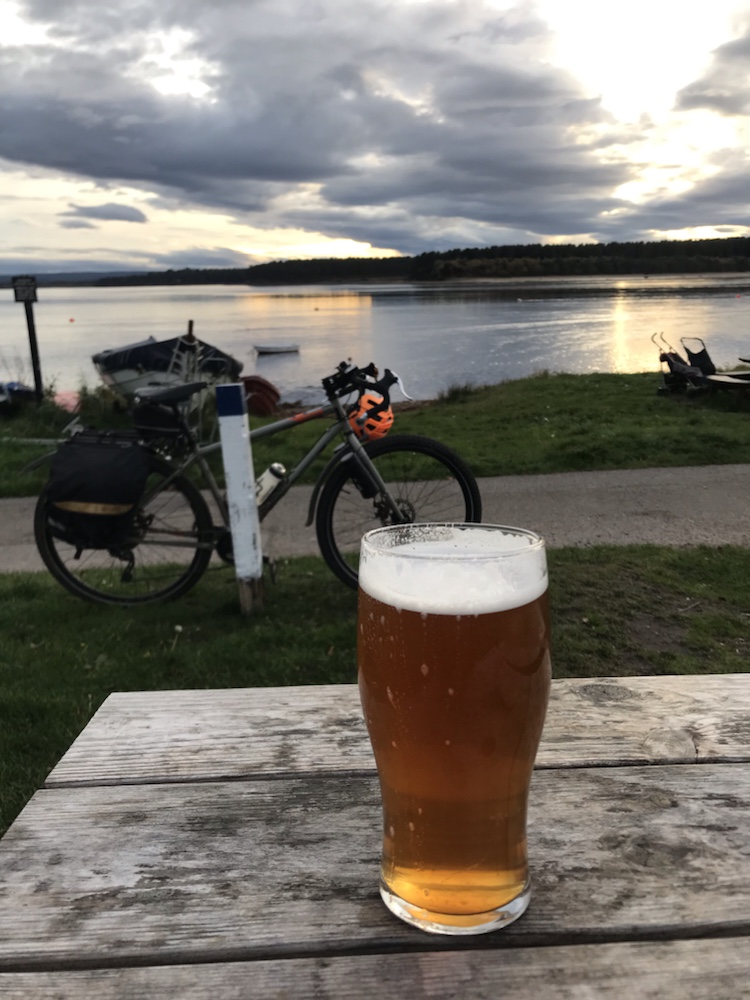
This was exhilarating, fast cycling and even better took me to one of the best pubs in the area; the Highlander. I was knackered and knew I still had 5 miles to do but also knew those miles would be reduced by consuming 2 pints of one of my favourite Scots ales, Deuchars.

Suitably refreshed and stoked up with 2 packets of peanuts off along the A941 to Dufftown. A long slog of a climb up and then down, in the dark.

But a warm welcome when I got to Hazel and Neil and a great evening with them.

The Moray Way; Thur 27 October 2022; Ballindalloch to Findhorn

A great day’s cycle, mainly off road on the Dava Way, an old railway line, north to the Moray Firth coast.

Those stats; 50 miles at 9.7mph, faster than usual due to less climbing and a good surface.

2,426ft of ascent – over 3,000ft of descent. Max speed 33.7mph. Hills walked up; just a couple of tricky slopes.

Usually I’d post a pic of breakfast but I was so busy getting ready I forgot. I set off into a grey gloom. Forecast was cloud all day but a strong tail wind. Neither turned out to be correct.

It’s great leaving our cottage and starting this trip off road. The Moray Way combines the Dava Way – Grantown on Spey to Forres with the Moray Coastal Trail – Findhorn to Spey Bay – and then the Speyside Way back home – about 110 miles, almost all off road.

There are stunning views which change with the seasons from our cottage, which I never tire of. Such as:

Winter a couple of years ago.

And here is the route I took:

The moon one winter’s afternoon.

Recently:

Last Monday afternoon, on the track to Chapeltown.

After 6 or so miles I cycled across a railway bridge over the Spey:

Cragganmore

Then on to the B9102 to Grantown, a roller coaster tiny road that tracks the Spey:

Into Grantown after 20 miles and an excellent coffee at Base Camp Bikes. The Dava Way starts just outside. The Inverness and Perth Junction Railway, it’s snappy title, ran from Forres south for 100 miles to Dunkeld.

It took just 2 years to build, which seems incredibly fast, with the viaducts, bridges, cuttings , stations and so on. It opened in 1863.

First I cycled through a rock cutting.

And then the embankment took me to:

As it says, Lady Catherine’s Halt.

But there was no Lady Catherine. This listed gatehouse was the price extracted for allowing the railway across the land of Lord whoever. But the trains did halt here for the great and good to disembark for one of those rambling Scottish baronial piles.

Talking of barons, at a viaduct there was a list of the directors – almost all land owning Scots nobility which no doubt ensured no objection from them.

The surface of the track is mainly very good. It rises very gradually for some 6 or so miles. to:

The summit at 1052ft.

And then a gradual descent. I saw one other person – a walker – in the first 15 miles. This is a great route – easy, with lots to see (especially if you like Victorian engineering).

It is easy to imagine the steam trains coming down this track and difficult for some I’m sure not to make train noises.

For lunch I had venison pâté rolls and chocolate eclairs:

Yes I ate the lot. All 4.

This moor gets a lot of snow; so much that in 1865 a train was marooned for a week up here. That led to the railway company building the world’s first snowplough that attached to a loco.

The snow was also bad in 1963 when the snowplough loco managed to run off the rails:

Stuck for days.

The railway cut the droving time for sheep from 4 weeks to 1 day! The Forres – Aviemore section closed in 1965. There are 8 viaducts; this is the one at Divie:

I couldn’t get down to get a pic so got this off the ‘net.

Here on the top of it:

There are also 126 bridges over rivers such as this one

Over the Bogeney Burn. The grass path is to allow the sheep to roam without crossing the line.

More track views:

There are also 119 road bridges:

“…the romantic Scurrypool bridge” as they said in 1863.

Apparently the railway owners wanted to combine function with good design; so this in its design is similar to Lady Catherine’s Halt.

Lots of sheep and cows:

And the sun came out briefly – great autumn colours:

The last of the rail track:

Approaching Forres

And then to Sueno’s Stone; the largest surviving Pictish stone in the UK:

Carved in about the 9th century.

Then a quick 5 mile cycle to Findhorn and it’s bay:

We were last here in September; there were dozens of moored boats. Now all ashore I guess for the winter.

On for a deserved pint at the Kimberley Arms:

Trade Winds. One of my favourite Scots ales.

Findhorn is very English; ages went by before I heard a Scottish accent. I went back to this pub for supper – the best fish stew I’ve had in ages.

A great first day. Weather doesn’t look too good for tomorrow but here’s hoping…